Pipeline Condensate Release – Project Profile
Project Summary

The work included site assessment, conceptual site model development, and remediation/risk management plan implementation to address an estimated 73,000 m3 of petroleum hydrocarbon soil and groundwater impacts at a historic condensate spill. The site is located in Southeastern Alberta in sensitive Dry Mixedgrass rangeland. Potential receptors included human health, wildlife, vegetation and aquatic life. A hydrogeological assessment was conducted to apply Tier 2 guidelines.
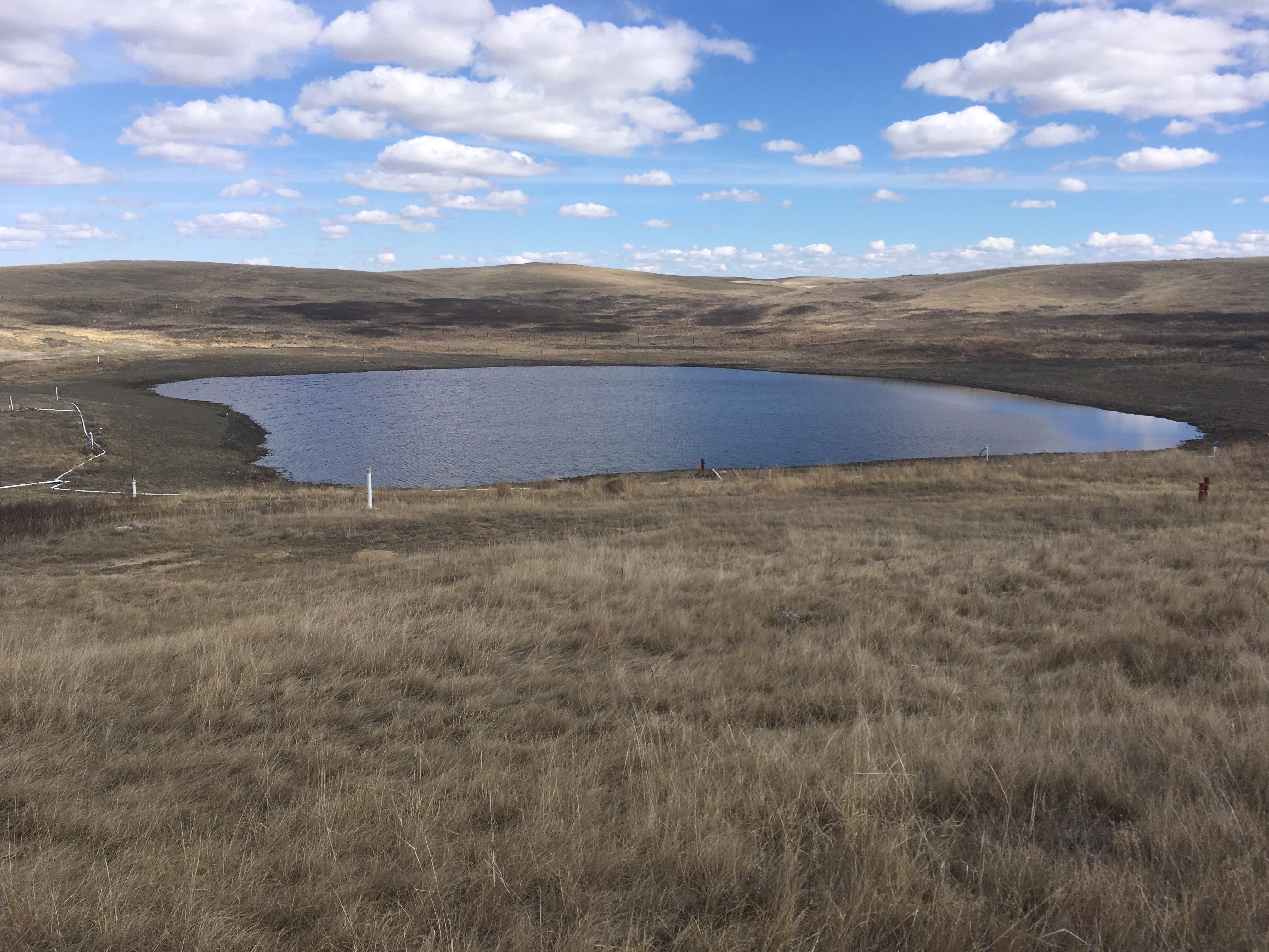
Within topographic lows, two nearby wetlands had the highest petroleum hydrocarbon impacts. Wetlands were assessed and a Water Act Approval was obtained prior to wetland disturbance, excavation, reconstruction and post-construction monitoring.
The remoteness and migratory birds nesting habitat restricted activity periods. A combination of bird deterrent measures, bird nest sweeps and activity scheduling ensured remediation activities would not impact migratory birds.
Remediation Activities
Remediation technologies were selected by proximity to receptor, type of lithology (coarse versus fine-grained soils), depth to water table, and degree of contamination. The most highly-impacted soils in one wetland were excavated and treated-on site in biopiles. Treated soils were used for wetland reconstruction and site grading. Areas surrounding the wetland were treated with hydrogen peroxide chemical injections and vertical soil vapour extraction wells were used to remediate areas of free-phase condensate. Remediation-related surface disturbance was minimized on the other wetland by the installation of horizontal air-sparging wells to treat soils and groundwater.
Following the remediation of the most highly-contaminated soils, Esker completed the design and specifications for five horizontal wells for air sparging. Soil vapor extraction horizontal wells were added in areas with sufficiently thick vadose zone. A site-specific risk assessment and risk management plan was created for the site that accounted for coarse-grained versus fine-grained lithology and historical water table depths. The reconstructed wetland is assessed to ensure that wetland is on a trajectory to mimic natural wetlands in the region within three years.